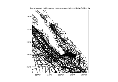
verde.datasets.setup_baja_bathymetry_map#
- verde.datasets.setup_baja_bathymetry_map(ax, region=(245.0, 254.705, 20.0, 29.99), coastlines=True, **kwargs)[source]#
Setup a Cartopy map for the Baja California bathymetry dataset.
Warning
All sample datasets in Verde are deprecated and will be removed in Verde v2.0.0. The tutorials/examples will transition to using Ensaio instead.
- Parameters:
- ax
matplotlibAxes The axes where the map is being plotted.
- region
list= [W,E,S,N] The boundaries of the map region in the coordinate system of the data.
- coastlinesbool
If True the coastlines will be added to the plot.
- kwargs
All additional key-word arguments will be ignored.
kwargsare accepted to guarantee backward compatibility.
- ax
See also
fetch_baja_bathymetrySample bathymetry data from Baja California.