Available datasets#
Use the functions in the ensaio module to download and cache (store)
each dataset on your computer.
See the List of functions and classes (API) for more information about each dataset, the original data
sources, and their licenses.
The datasets are prepared for use in Ensaio in the repositories of the
Fatiando a Terra Datasets GitHub
organization.
Tip
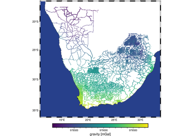
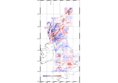
Click on the images for examples of fetching, loading, and plotting each dataset.
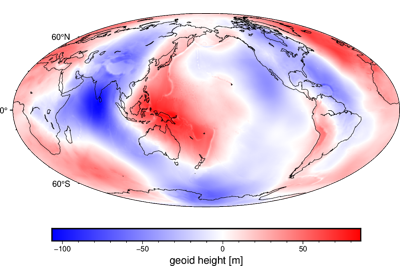
Earth geoid height grid at 10 arc-minute resolution
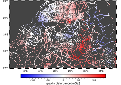
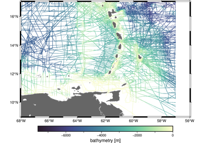
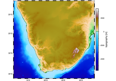
Gravity ground-based data over the Bushveld Complex, Southern Africa
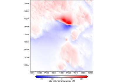
Magnetic airborne survey of the Osborne Mine, Australia
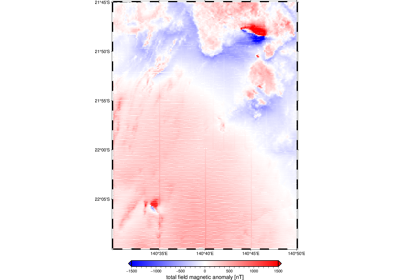
Magnetic anomaly grid of the Lightning Creek Sill Complex, Australia
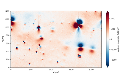
QDM magnetic microscopy dataset of a speleothem from Morocco
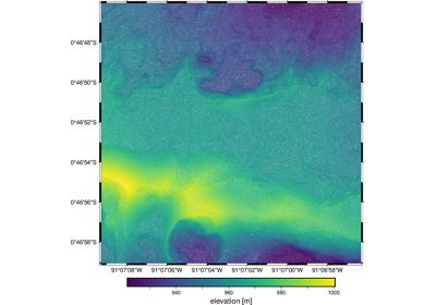
Topography of the 2018 lava flows of the Sierra Negra volcano, Ecuador
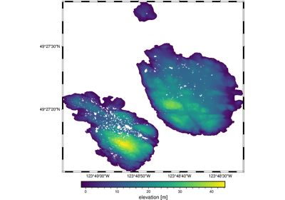
Topography of the Trail Islands in British Columbia, Canada