verde.datasets.setup_baja_bathymetry_map
-
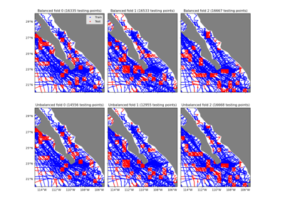
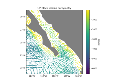
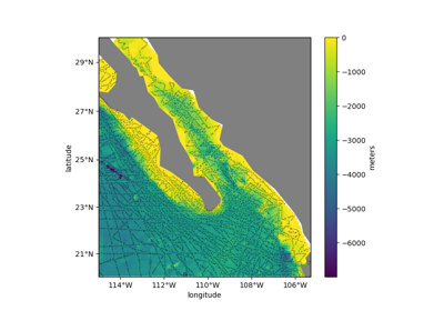
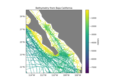
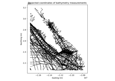
verde.datasets.setup_baja_bathymetry_map(ax, region=(245.0, 254.705, 20.0, 29.99), land='gray', ocean=None)[source]¶ Setup a Cartopy map for the Baja California bathymetry dataset.
- Parameters
ax (matplotlib Axes) – The axes where the map is being plotted.
region (list = [W, E, S, N]) – The boundaries of the map region in the coordinate system of the data.
land (str or None) – The name of the color of the land feature or None to omit it.
ocean (str or None) – The name of the color of the ocean feature or None to omit it.
See also
fetch_baja_bathymetrySample bathymetry data from Baja California.