verde.datasets.setup_texas_wind_map
-
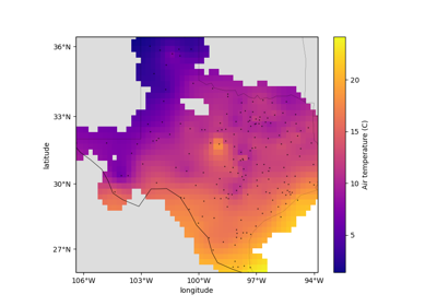
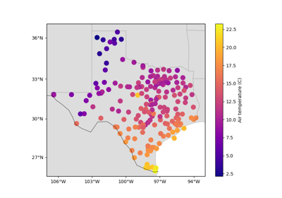
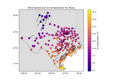
verde.datasets.setup_texas_wind_map(ax, region=(-107, -93, 25.5, 37), land='#dddddd', borders=0.5, states=0.1)[source]¶ Setup a Cartopy map for the Texas wind speed and air temperature dataset.
- Parameters
ax (matplotlib Axes) – The axes where the map is being plotted.
region (list = [W, E, S, N]) – The boundaries of the map region in the coordinate system of the data.
land (str or None) – The name of the color of the land feature or None to omit it.
borders (float or None) – Line width of the country borders.
See also
fetch_texas_windSample wind speed and air temperature data for Texas.