verde.datasets.fetch_california_gps
-
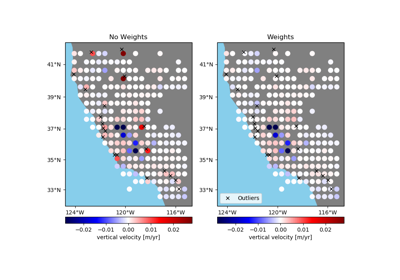
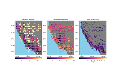
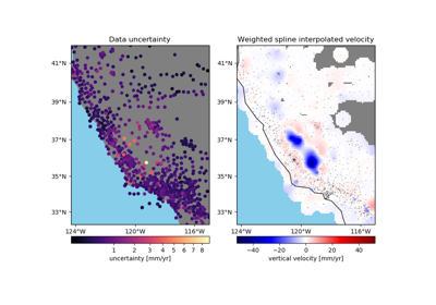
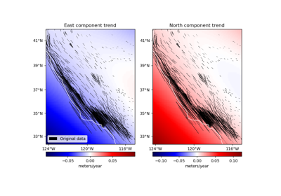
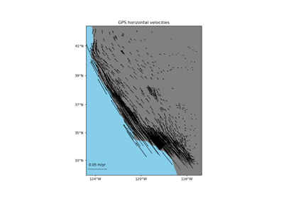
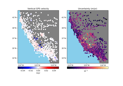
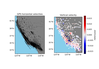
verde.datasets.fetch_california_gps()[source]¶ Fetch sample GPS velocity data from California (the U.S. West coast).
Velocities and their standard deviations are in meters/year. Height is geometric height above WGS84 in meters. Velocities are referenced to the North American tectonic plate (NAM08). The average velocities were released on 2017-12-27.
This material is based on EarthScope Plate Boundary Observatory data services provided by UNAVCO through the GAGE Facility with support from the National Science Foundation (NSF) and National Aeronautics and Space Administration (NASA) under NSF Cooperative Agreement No. EAR-1261833.
If the file isn’t already in your data directory, it will be downloaded automatically.
- Returns
data (
pandas.DataFrame) – The GPS velocity data. Columns are longitude, latitude, height (geometric, in meters), East velocity (meter/year), North velocity (meter/year), upward velocity (meter/year), standard deviation of East velocity (meter/year), standard deviation of North velocity (meter/year), standard deviation of upward velocity (meter/year).
See also
setup_california_gps_mapUtility function to help setup a Cartopy map.