verde.datasets.setup_baja_bathymetry_map
-
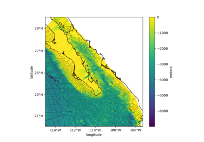
verde.datasets.setup_baja_bathymetry_map(ax, region=(245.0, 254.705, 20.0, 29.99), coastlines=True, **kwargs)[source]¶ Setup a Cartopy map for the Baja California bathymetry dataset.
- Parameters
ax (matplotlib Axes) – The axes where the map is being plotted.
region (list = [W, E, S, N]) – The boundaries of the map region in the coordinate system of the data.
coastlines (bool) – If True the coastlines will be added to the plot.
kwargs – All additional key-word arguments will be ignored.
kwargsare accepted to guarantee backward compatibility.
See also
fetch_baja_bathymetrySample bathymetry data from Baja California.