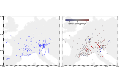
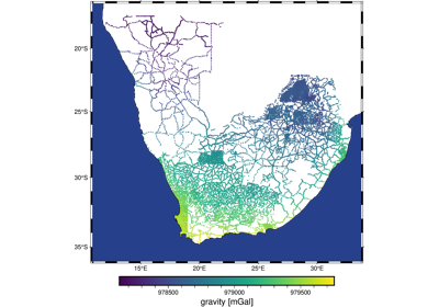
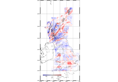
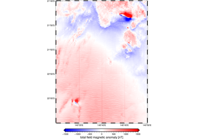
Available datasets
Available datasets
Use the functions in the ensaio module to download and cache (store)
each dataset on your computer.
See the List of functions and classes (API) for more information about each dataset, the original data
sources, and their licenses.
The datasets are prepared for use in Ensaio in the repositories of the
Fatiando a Terra Datasets GitHub
organization.
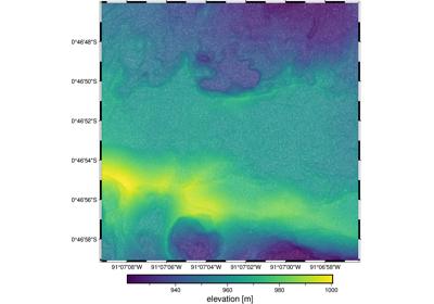
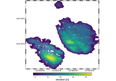
Tip
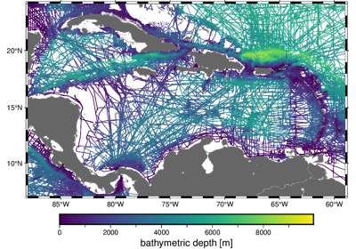
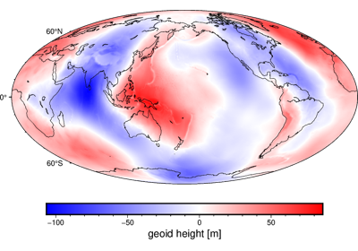
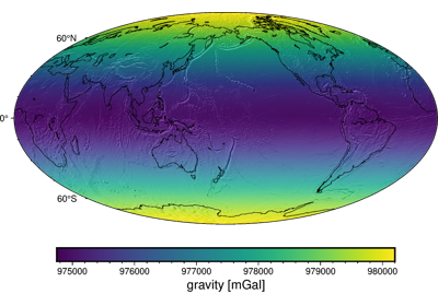
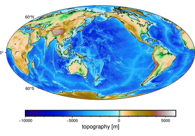
Click on the images for examples of fetching, loading, and plotting each dataset.